River Overview: From High Urbión to the Ocean
Tracing the 897-kilometre descent from Castilian high plateaus across the steep border gorge of the International Douro into northern Portugal’s coastal estuary.
Explore the Geographic RouteFrom its high glacial spring in Spain’s Sierra de Urbión through steep schist canyons to its Atlantic estuary in Porto, the Douro encompasses 897 kilometres of living history, handcrafted viticulture, and rugged biodiversity.
“The Douro is not merely an Iberian waterway; it is an epic of carved schist terraces, microclimatic fortitude, and centuries of maritime commerce connecting continental plateaus to the Atlantic horizon.”
Examine the hydrological, geological, historical, ecological, and voyaging facets of Portugal’s most iconic river corridor in sequential row chapters.
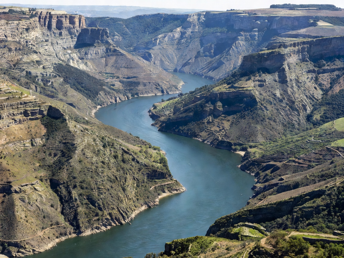 ★ Chapter I • Hydrology
Tracing the 897-kilometre descent from Castilian high plateaus across the steep border gorge of the International Douro into northern Portugal’s coastal estuary.
Explore the Geographic Route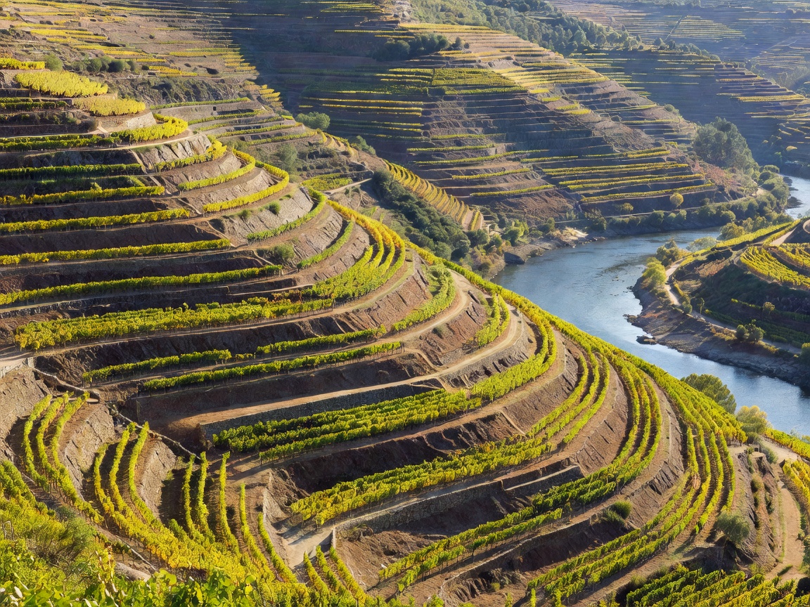 ★ Chapter II • Geology
An examination of the geological foundation of the Alto Douro: hand-stacked slate socalcos, microclimatic solar traps, dramatic gorge cliffs, and engineering bridges.
Explore Valley Geology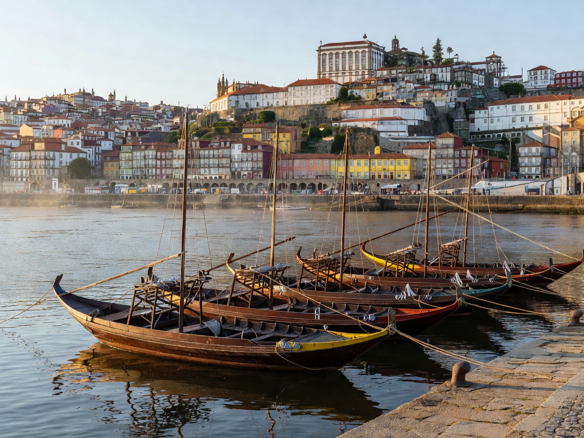 ★ Chapter III • Heritage
How the 1756 demarcation by the Marquês de Pombal, perilous wooden rabelo boat navigation, and riverside lodges forged an internationally celebrated trade lineage.
Explore the Heritage Lineage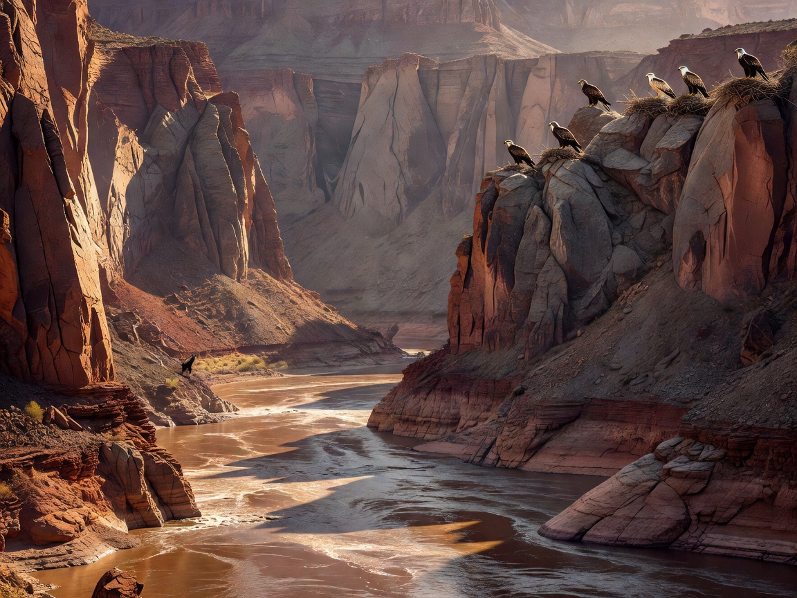 ★ Chapter IV • Ecology
From Egyptian vultures nesting in international canyon cliffs to endemic Mediterranean scrub and fluvial native fish corridors governed by modern hydroelectric locks.
Explore the Natural Habitat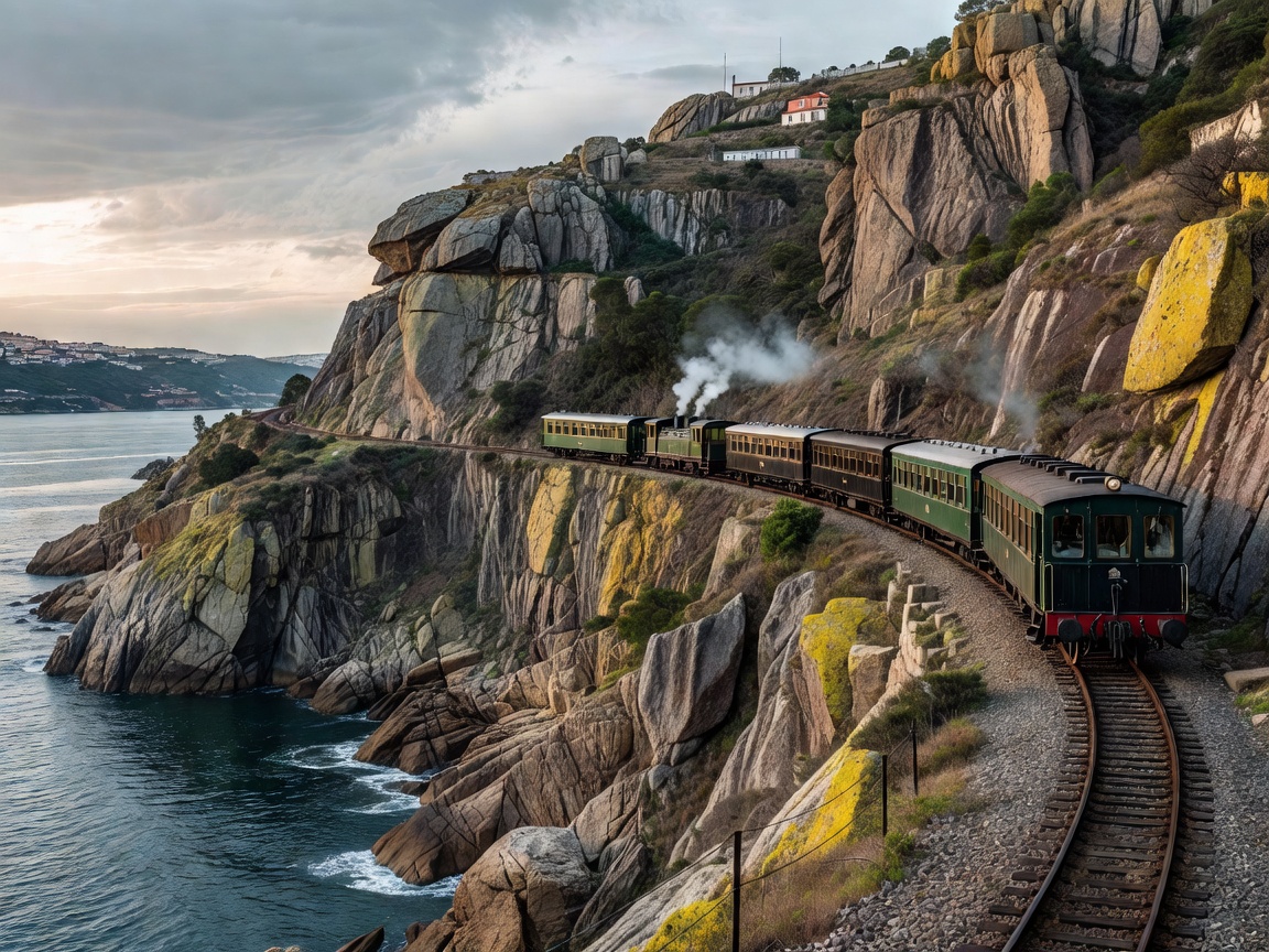 ★ Chapter V • Travel Log
A systematic navigation guide covering Linha do Douro train journeys, boutique river vessels, elevated scenic miradouros, and vineyard estate walks between Régua and Pocinho.
Explore the Travel ItineraryFor millennia, the Douro was feared as one of Europe’s most turbulent waterways. Torrential winter floods, jagged granite boulders called cachões, and sheer whirlpools routinely sank freighting barges. The most notorious obstacle, the Cachão da Valeira, claimed scores of crews and even English benefactor Baron James Forrester in 1861.
Between 1970 and 1985, an ambitious program of five Portuguese hydroelectric dams (Crestuma-Lever, Carrapatelo, Bagaúste, Valeira, and Pocinho) tamed the current, building Europe’s highest river locks and turning a wild canyon into a navigable inland fairway.